


United States Maps Infographic Template


Comprehensive United States Maps Infographic Template: Versatile Solutions for Every Presentation
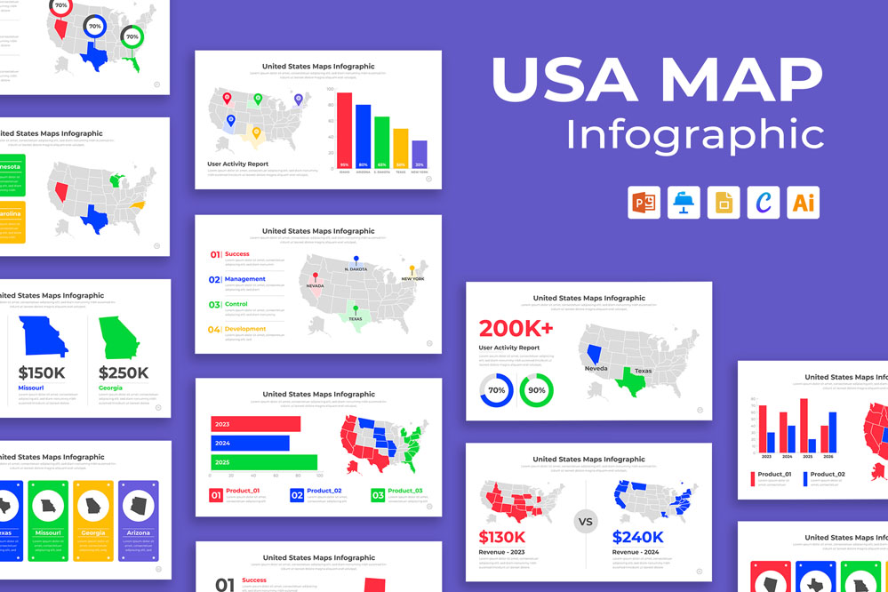
Maps are more than just geographical representations; they are visual storytelling tools that can turn complex data into comprehensible and impactful presentations. The United States Maps Infographic Template is designed to help you effectively convey geographical data, trends, and statistics. This article will guide you through the features and advantages of using these templates across multiple platforms: Microsoft PowerPoint, Keynote, Google Slides, Canva, and Adobe Illustrator.
Benefits of Using Map Infographic Templates
- Professional Appeal: High-quality designs add a professional touch to your presentations, enhancing credibility and impact.
- Time Efficiency: Pre-designed templates save time on creating visuals from scratch, allowing you to focus on content.
- Consistency: Maintain a consistent look and feel across all your presentations by using the same template.
Share Now!
United States Maps Infographic Template
mighty-infographics
Related Products


